


Humanity has been fighting over land ever since we could walk on two legs, and Palestine is perhaps one of the most disputed pieces of land, until today. A bitter conflict still rages over who has the right to live there, to call it their own, even over a name.
If you look at any antique map, any at all, one of the first things you’ll notice is that names are different, borders have changed, many times even the people and languages have changed; the only thing that remains relatively unchanged is the land itself. Strong support for the idea that these are all man-made concepts, lines drawn on pieces of paper by those who held the most power at the time. Some things never change.
via Geographicus
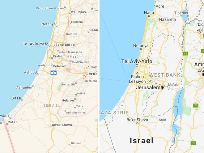
Recently, a wave of uproar has risen, not for the first time, about Palestine being “removed” from Google and Apple Maps. But many were quick to point out that it was never actually there, and both tech giants released statements to that fact shortly after.
via Independent UK
Maps matter.
People have started circulating their own maps of Palestine on Twitter, proving the power of a label. But it’s not just a label. An entire people have been exiled from their home, their country of origin literally erased from the face of the planet. They are now a people without a nation. And Israel’s most recent annexation announcement only means that the Arabs who still call the Holy Land home, will be pushed even further into oppression.
So what is in a name?
This land that we fight so passionately over has had many names, enough to reflect the diversity of its people, and the central role it has played in our collective histories. References have been found in ancient Egyptian inscriptions describing a group of nomadic people, Peleset or Peleshet, that lived to the east. Herodotus’ “Histories” is one of the earliest references to a land named Palaistine, in 450 BCE. During the Bronze Age, it was called Canaan. It has been referred to as the Kingdom of Israel, Land of the Israelites, after the Twelve Tribes of Isreal. During classical antiquity, it was Palestine and Syria Palaestina. The Arabs called it Filastin. Each variation of the name came with its own political motives, just as it does today.
via Wikipedia
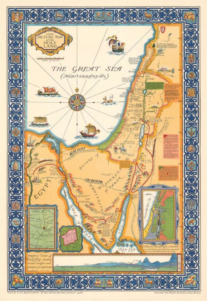
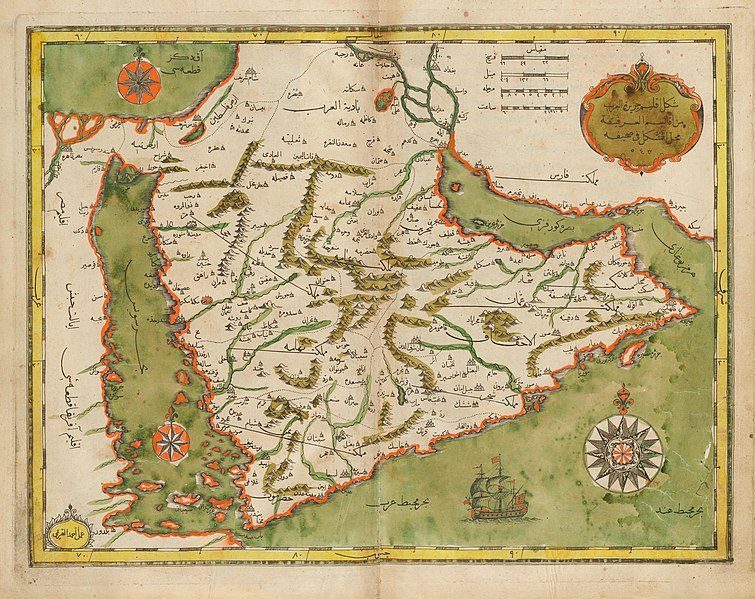
Thankfully, it’s not so easy to erase a country from our history books, nor from non-digital maps. Maps that go back as far as the 15th century clearly label this land as Palestine, and this remained common practice throughout the next few hundred years. It wasn’t until after World War II that Israel made a reappearance on world maps.
In 1947, the UN General Assembly adopted its plan to partition Palestine under Resolution 181, which sparked civil war in a country that had been becoming more and more divided. Two years later, Ben-Gurion declared Israel an independent state, setting in motion one of the world’s most enduring conflicts and decades of oppression and apartheid. Now, Israel plans to annex even more of Occupied Palestine, eating up larger and larger chunks of the West Bank with increasing violence. But there will always be maps that bear the name Palestine.